-
×
- Home
- Art Prints ▸
- Artists ▸
- Categories ▸
- Art Styles ▸
- Picture Frame ▸
-
Print media ▸
- All print media
- Canvas Leonardo (satin)
- Canvas Salvador (matte)
- Canvas Raphael (matte)
- FineArt Photo Matte
- FineArt Photo Satin
- FineArt Photo Baryte
- FineArt Photo Glossy
- Watercolor Cardboard Munch
- Watercolor Cardboard Renoir
- Watercolor Cardboard Turner
- Watercolor Cardboard Dürer
- Natural Line Hemp
- Natural Line Rice
- Kozo White, 110g
- Kozo Natural, 110g
- Inbe White, 125g
- Unryu, 55g
- Bamboo, 110g
- Premio Unryu, 165g
- Murakumo Natural, 42g
- Bizan Natural, 300g
- Bizan White, 300g
- Aluminum composite 3mm
- Acrylic glass 5mm
- Order Sample Set
- Which print medium fits?
Canvas
Photo Paper
Watercolor Board
Natural Line
Japanese Paper
Special Media
More information
-
Help & Service ▸
- Contact us
- Sell your art
- Frequently Asked Questions
- Open Positions
- Complaint
- Order Samples
- Order Vouchers
- Shipping costs
- Production time
- Sustainability
- Image research
- Special requests
- Who are we?
- Pricing policy
- Company policy
- Quality promise
- Stretcher frame
- Passe-partouts
- Decorative frames
- Glazing
- Fillets
- Mounting systems
- Print media
- Care tips
- Imprint
- T & Cs
- Data protection
- Right of Cancellation
Info & Service
More information
Worth knowing
Legal information
- Shop ▸
- Contact


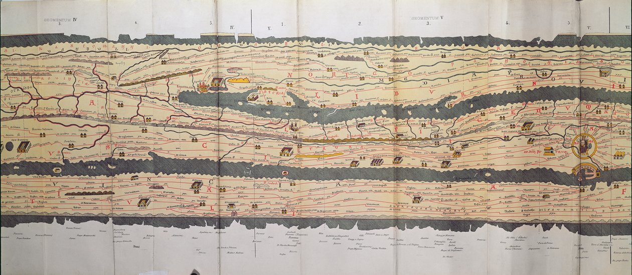
 an illustrated itinerarium of the road network in the Roman EmpireDetail of Italy from the Peutinger map copy - (MeisterDrucke-110655).jpg)
.jpg)
 an illustrated itinerarium of the road network in the Roman EmpireDetail of Italy from the Peutinger map copy - (MeisterDrucke-110655).jpg)
.jpg)
.jpg)
.jpg)
.jpg)
.jpg)
_-_(MeisterDrucke-1516129).jpg)
.jpg)
.jpg)
.jpg)
.jpg)
.jpg)
.jpg)
.jpg)
.jpg)
.jpg)
.jpg)
.jpg)
.jpg)
_-_(MeisterDrucke-955715).jpg)
.jpg)
.jpg)
.jpg)
.jpg)
.jpg)
.jpg)
 - (MeisterDrucke-36081).jpg)
.jpg)
.jpg)
_-_(MeisterDrucke-1515060).jpg)
.jpg)
.jpg)
.jpg)
.jpg)
.jpg)
.jpg)
.jpg)
.jpg)
.jpg)
.jpg)
 - (MeisterDrucke-5378).jpg)
.jpg)
.jpg)
.jpg)
.jpg)
.jpg)
.jpg)
.jpg)
.jpg)
 - (MeisterDrucke-73288).jpg)
.jpg)
.jpg)
.jpg)
.jpg)
 - (MeisterDrucke-414106).jpg)
 (detail from 330946) - (MeisterDrucke-115920).jpg)
.jpg)
 - (MeisterDrucke-106075).jpg)
.jpg)
.jpg)
 - (MeisterDrucke-179768).jpg)
.jpg)
.jpg)
.jpg)
.jpg)
.jpg)
.jpg)
.jpg)
.jpg)
.jpg)
.jpg)
.jpg)
.jpg)
.jpg)


